

Tracking European Carp Using Acoustic Telemetry in Hurkett Cove.
Lakehead Region Conservation Authority
Project Description
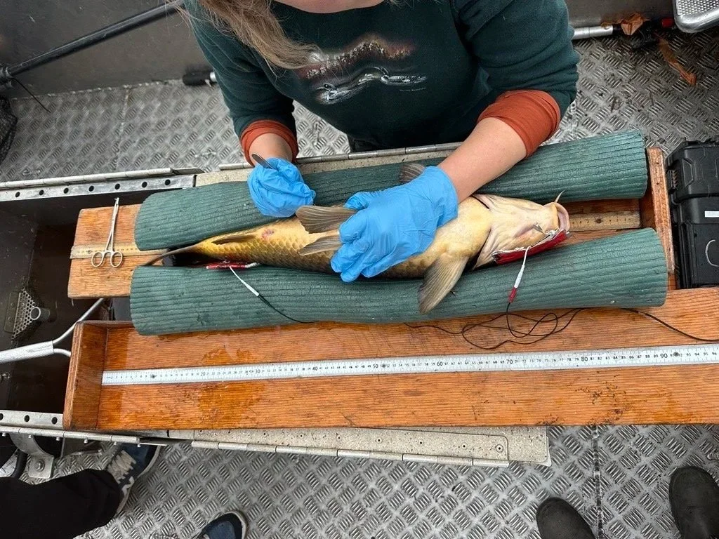
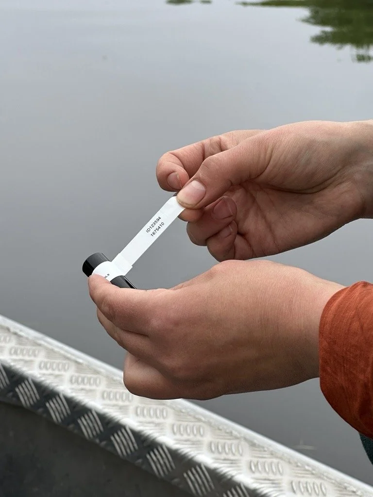
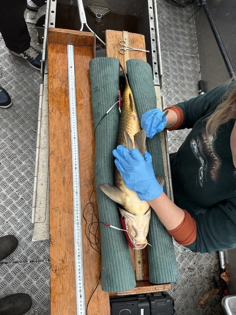
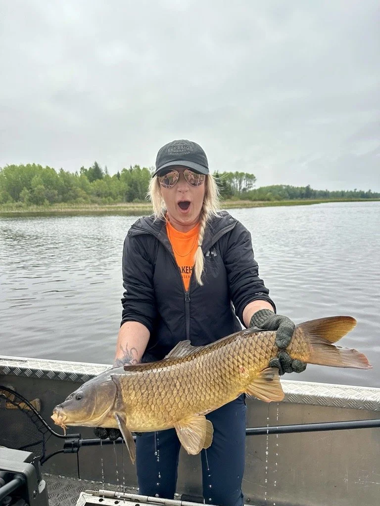
The Lakehead Region Conservation Authority (LRCA) initiated an acoustic telemetry study to better understand European Carp movements and potential interactions with wetland vegetation within Hurkett Cove's Provincially Significant Wetland (PSW). As part of the project, the LRCA purchased 10 VR16 acoustic transmitters, which were surgically implanted into European Carp captured within Hurkett Cove through electrofishing conducted in partnership with MNR. Until this project, no European Carp had been tagged in Lake Superior in accordance with the MNR’s records.
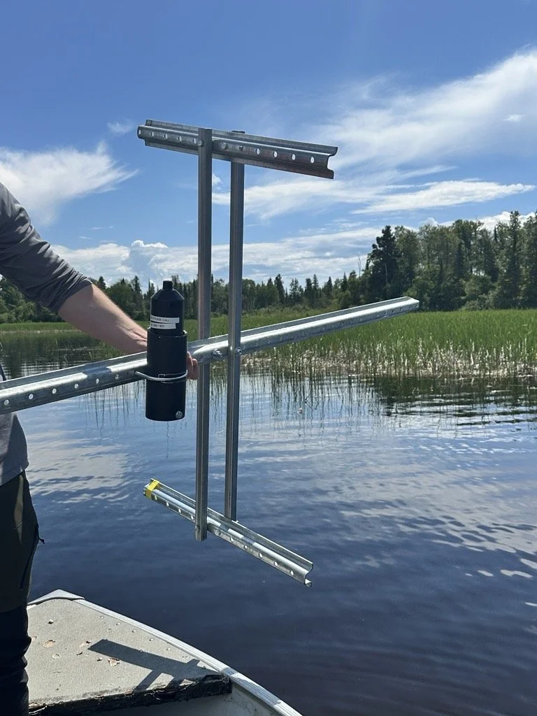
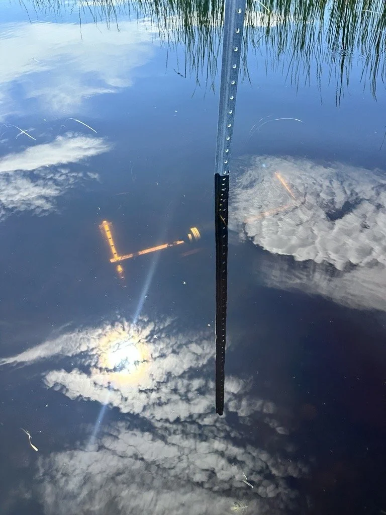
Following the tagging of the fish, a VEMCO Positioning System (VPS) array was installed in the southern portion of Hurkett Cove to passively monitor the movements of tagged Common Carp. Uniquely, and unlike standard studies, the VPS receivers were installed horizontally in shallow water to capture carp movements within and around vegetation stands, providing insight into how carp interact with Northern Wild Rice, Invasive Cattail, and other wetland species. By tracking carp movements, the LRCA can identify congregation areas, assess risks to Northern Wild Rice beds, develop targeted management strategies in collaboration with the MNR, and help maintain the ecological and cultural integrity of Hurkett Cove.
The project will not only assist with the long-term protection and development of a management strategy for Hurkett Cove, but it will also contribute to generating data with broader applications—helping to predict future risks, identify carp congregation areas, guide management strategies, protect biodiversity, and inform future policy and planning decisions.
Challenge / Issue and Solution
The VPS array required careful planning and design to ensure the placement of receivers captured carp movements across different vegetation stand types while maintaining effective detection coverage. Receiver locations were selected to account for distances between units, water depth, and the distribution of vegetation throughout the wetland. Dense vegetation presented an additional challenge, as it could interfere with acoustic signal transmission and create noise that reduces detection efficiency. Balancing receiver spacing with vegetation coverage was therefore essential to optimize the array's performance and accurately assess carp movements and habitat use within the wetland.
PLANNING: Provide a description of how you planned, prepared and implemented your project
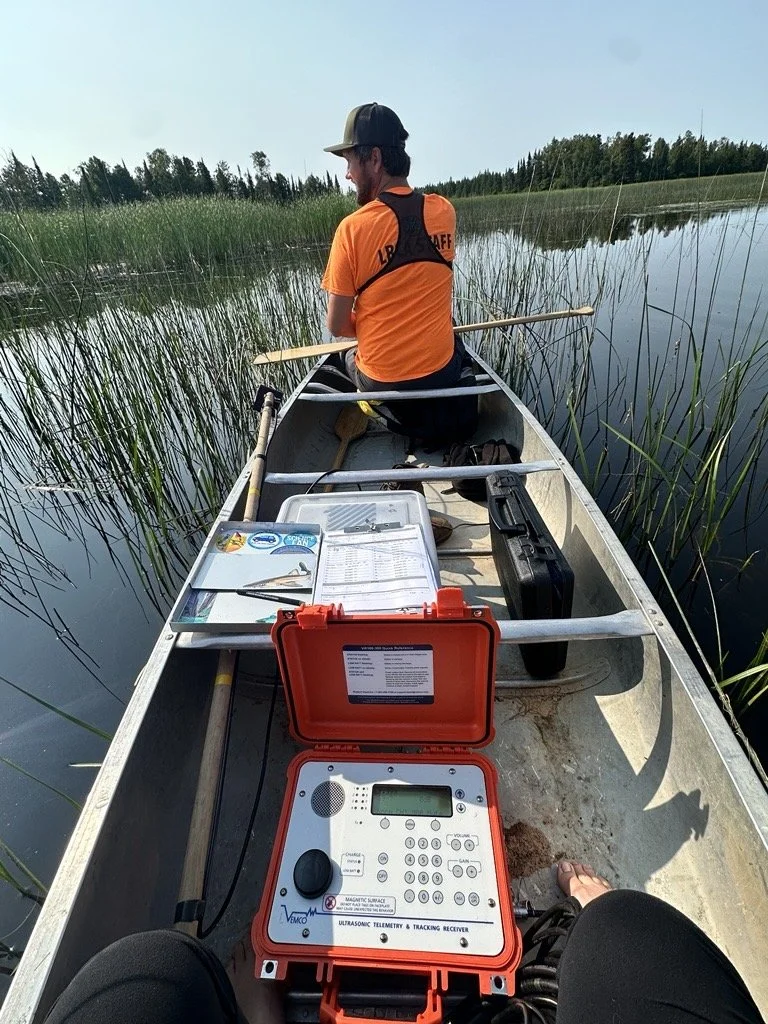
The project required extensive planning and coordination to ensure successful implementation across all stages of fieldwork. This included coordinating with project partners, ordering acoustic transmitters, scheduling field days, and preparing the necessary equipment for both active tracking and stationary monitoring. Additional planning was required to map and design the VPS array, accounting for receiver placement, vegetation distribution, and effective detection coverage within the wetland. Coordinating these activities required careful logistical planning, collaboration among project partners, and flexibility to accommodate field conditions and ensure equipment was properly prepared and deployed.
Describe the overall outcome and success of your project, noting your achievements in innovation and inspiration in PEOPLE, PLANNING and PLACES
The first year of the project was successful, providing preliminary insights into European Carp movement and habitat use within Hurkett Cove. Active tracking suggests carp primarily used Hardstem Bulrush stands for navigation and foraging, with limited observed influence on the large Northern Wild Rice stand in the southern cove. The VPS array was removed in the third week of October 2026, and initial analysis confirmed tagged fish were detected by all four VPS units. Further analysis by GLATOS and Innovasea is required to verify results and better understand carp habitat preferences and potential impacts on wetland vegetation.